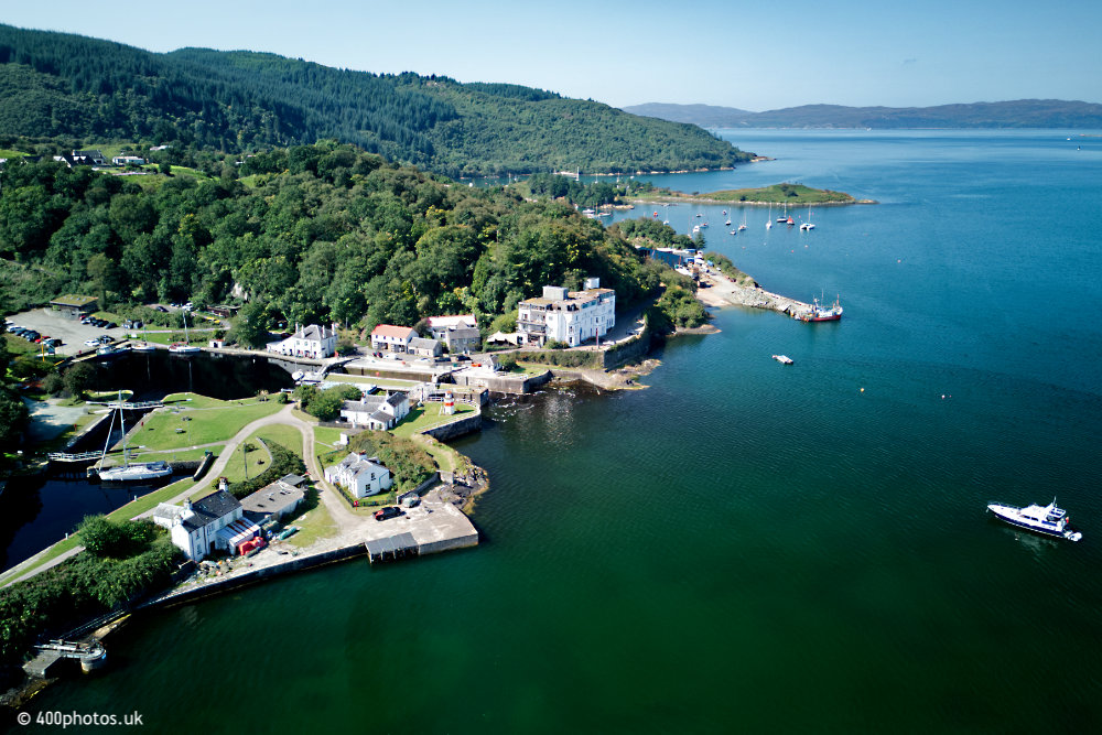
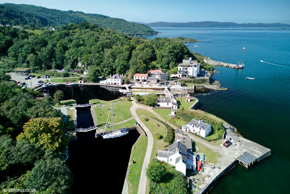
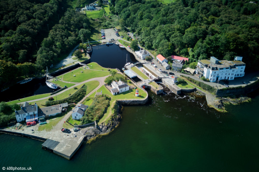
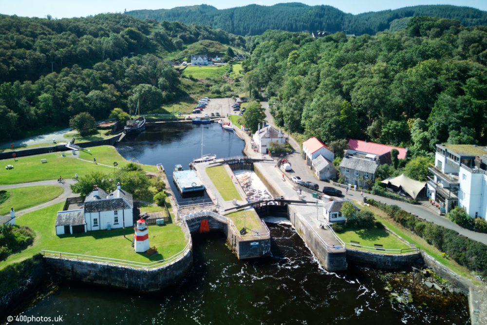
Crinan Canal Sea-lock
The western end of the Crinan Canal in Argyll & Bute
Select the thumbnails to view in full size
All images are © 400photos.uk
The canal is nine miles long and runs from here to Ardrishaig on Loch Fyne, which
can be seen on another page. It was opened in 1809 and the chief engineer was Thomas Telford.
The canal was built to allow small ships, trawlers, etc to cross the top of the Kintyre peninsula and save an up to one hundred and twenty mile journey round the Mull of Kintyre, also avoiding the North Atlantic, and sailing direct to the shelter of the Sound of Jura and the Inner Hebrides.
These days the canal is used almost exclusively by pleasure craft.