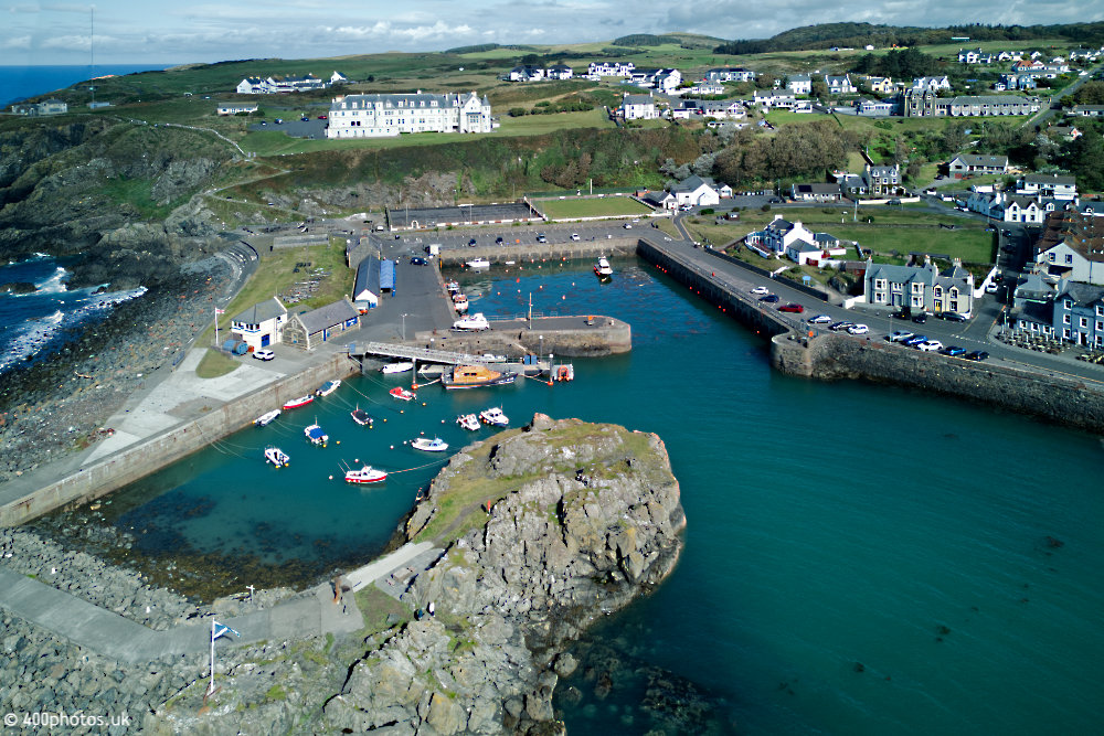
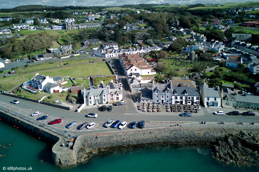
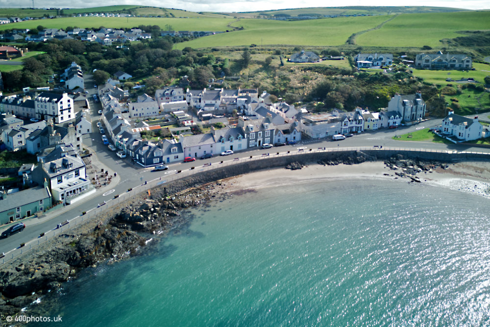
Tap or click here for the home page
A & B
C
D
E—G
H—K
L
M—P
R & S
T—W
Home
Previous Page
Current menu
Next Page

Portpatrick Harbour
Dumfries & Galloway

Portpatrick Harbour, Dumfries and Galloway, aerial photograph
Looking north from over the harbour entrance.


Portpatrick Harbour, Dumfries and Galloway, aerial photograph
Some of the seafront hotels and restaurants, all very popular with visitors and locals alike.


Portpatrick Harbour, Dumfries and Galloway, aerial photograph
The southern end of the harbour area looking up the main street.


Portpatrick Harbour - Dumfries and Galloway, aerial photograph
From further back over the sea. The RNLI station is in the centre of the photo.


Portpatrick Harbour, Dumfries and Galloway, aerial photograph
Closer in on the RNLI.


Portpatrick Harbour, Dumfries and Galloway, aerial photograph
And again.


Portpatrick Harbour, Dumfries and Galloway, aerial photograph
The play area at the north end of the harbour. That path winding up the cliff on the left is the start of the Southern Upland Way.


Previous Page
Current menu
Next Page

Home
Copyright
Licences
Contact & Information
email

The entire content of this website is Copyright © 400photos.uk and all Moral Rights are asserted.

A licence is required before re-publishing any of the photos or text from this website.